GEOSPATIAL SERVICES
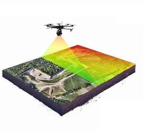
Drones can capture aerial imagery for photogrammetry which can be used to create 3D Orthomosaics, Digital Surface (DSM’s)and Digital Terrain Models (DTM’s). DroneServ provides you with complete surface and volumetric reports where required with centimeter-level precision in geo-location. Our fleet of drones consist of high-resolution imagery-capable sensors, RTK, LiDar and other sohiticated hardware which allows us to map faster with un-paralleled accuracy to provide you with precision resolution of Ground Sampling Distance (GSD).
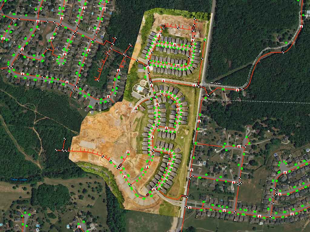
Whether its 10 or 10,000 acres, DroneServ has you covered. With the ability to simultaneously deploys its fleet of drones, DroneServ provides quick and efficient Data Capture with Post-Processing to give accurate 2D and 3D Terrain Visualization and Topographical Maps. With high resolution imagery, our data is more accurate and at a higher resolution than satellite imagery.
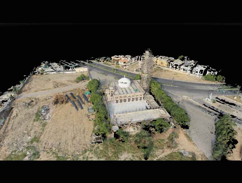
Our operators are trained for efficient data capture while our post-processing team can create 3D Models which can be used for historic preservations or even construction planning. DroneServ canscan architectural buildings and construction sites and provide CAD models and even printed scale models from Additive Manufacturing for effective construction and preservation planning.
Request
a Call Back
For geospatial services, please call us or message us. We will respond as soon as possible.